Georecorder
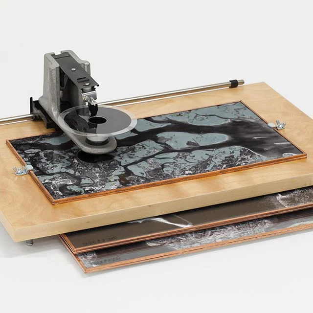
Georecorder (Instrument #3): Found materials, hardware, plexi, paper, copper tape, wood.
17"x 13" x 7"

Georecorder (detail).
From Global Institute of Ambiguous Instruments database:
Georecorder for Submerged Memories
Function:
Beaches and tidal zones around the world are locations for the creation of memories. Families gather, children make sandcastles and learn to swim, to surf, to comb for shells, to eat sandy sandwiches. Lovers walk and talk and watch the sun set or moon rise. The best books are read and deep confessions made. As climate change brings on rising sea levels, these memories are at risk.
With this in mind, a group of social geographers developed the Georecorder instrument to help identify the coastal zones where an individual’s memories are at greatest risk of submersion. When an individual’s biographical geography is uploaded to the RECAP Disk, the Georecorder will generate a map indicating the memory zones most likely to reach full submersion within the client’s lifetime. With this information in hand, the client may be encouraged to revisit the endangered locations with memory recording devices such as camera, sketch pad and pen, and collecting equipment with which to take a little of the location home with them. In addition, the beautiful map generated by the Georecorder is something that most clients will display in a prominent location in their home and treasure along with the other memorabilia from their past.
Inventory #: 20-3gsm
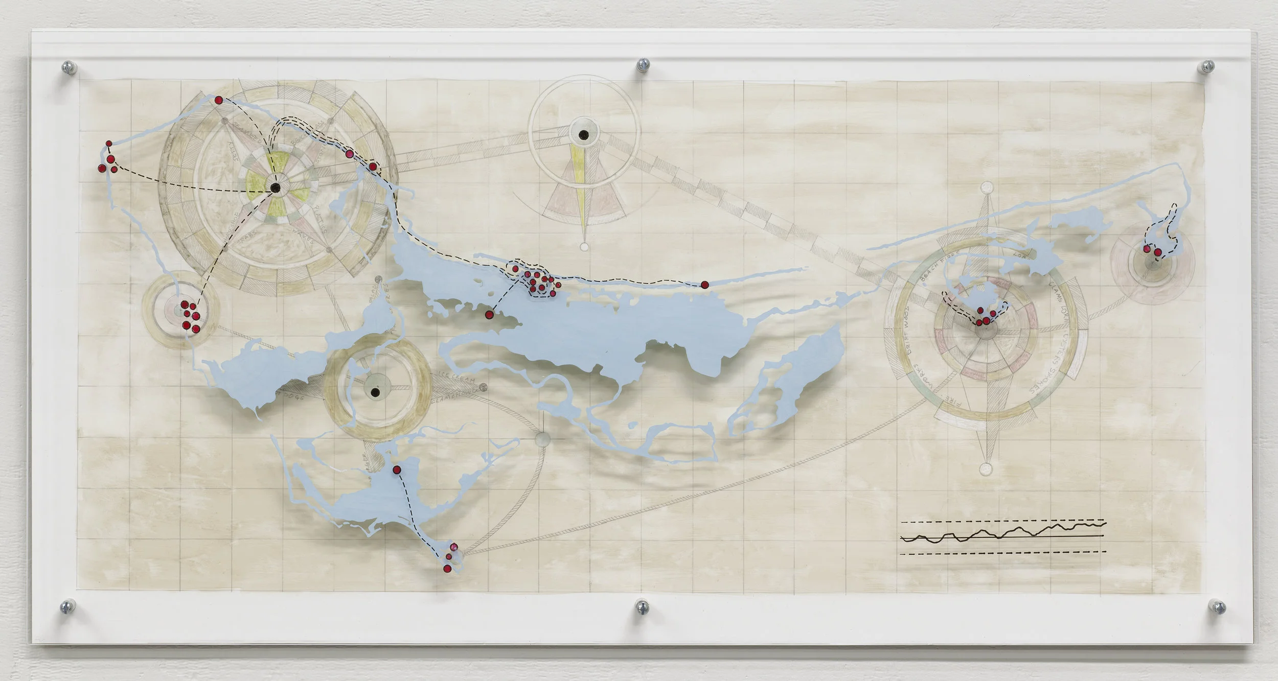
Great Island Submerged Memories from Georecorder data.
Acrylic and graphite on Yupo, acrylic on Plexiglas
12"x 24"x 1.25"
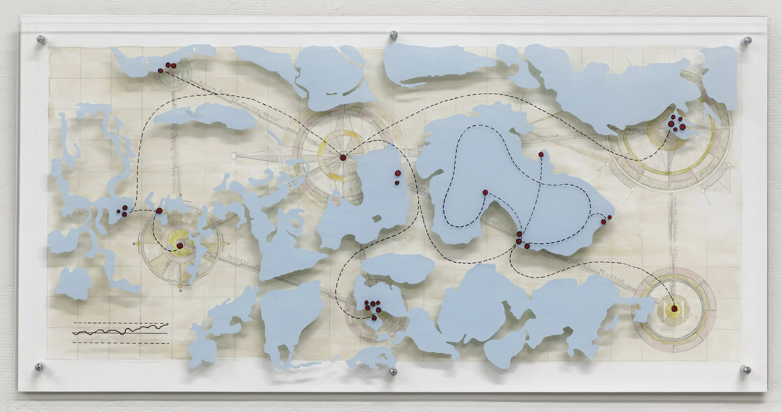
Gannet Point Submerged Memories From Georecorder data.
Acrylic and graphite on Yupo, acrylic on Plexiglas
12"x 24"x 1.25"
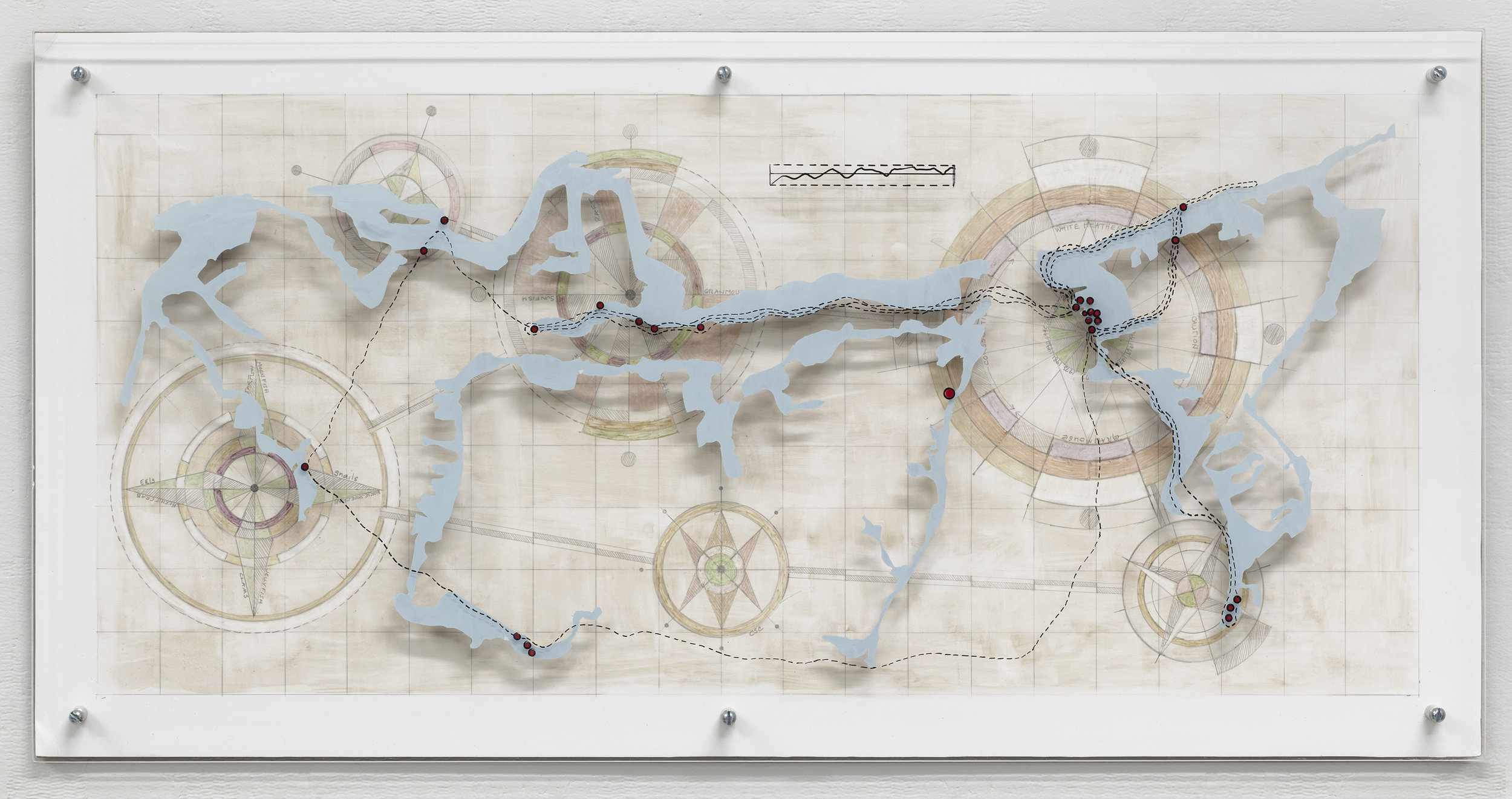
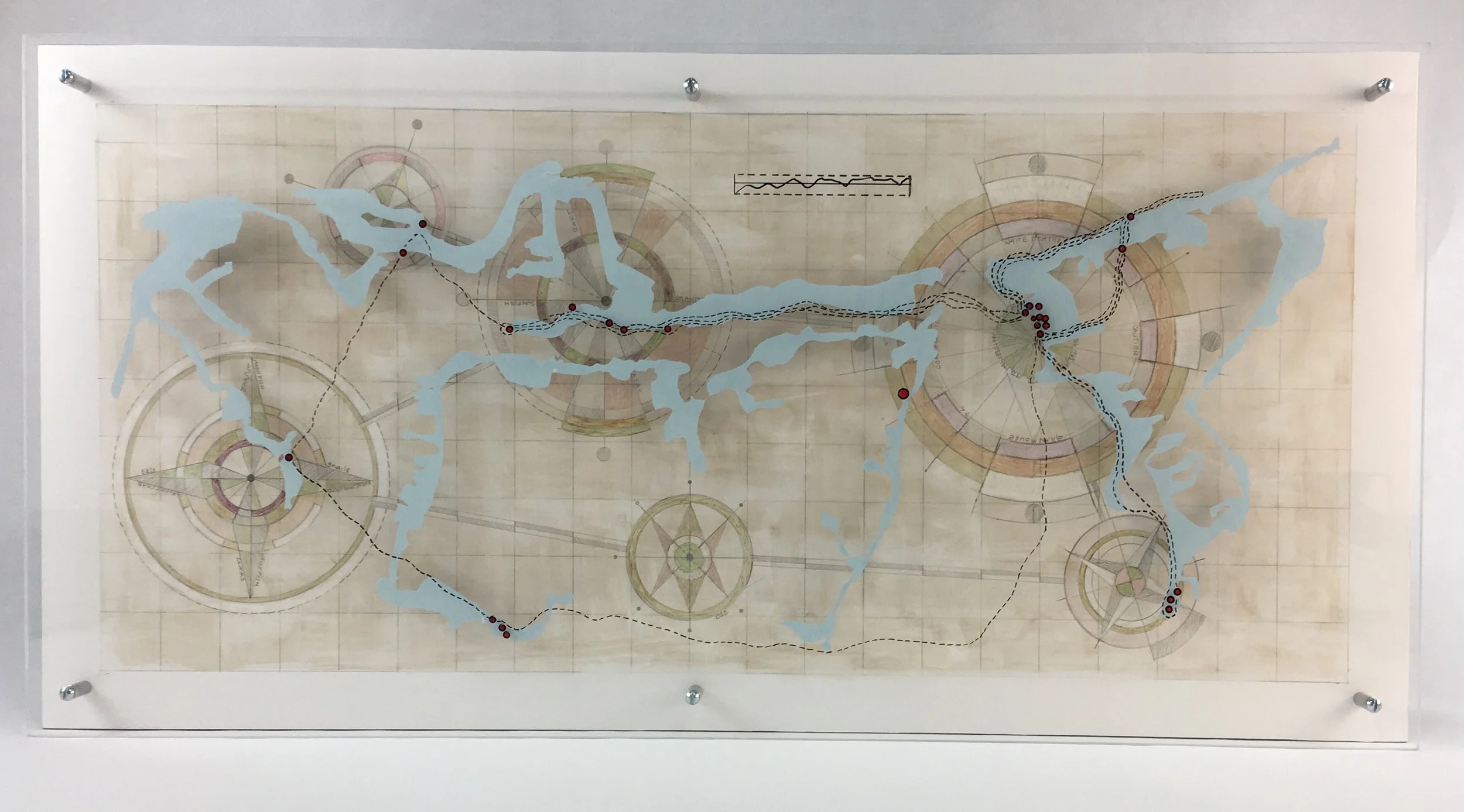
East West Bay Cape Cod Submerged Memories from Georecorder data.
Acrylic and graphite on Yupo, acrylic on Plexiglas
12"x 24"x 1.25"
Cape Ann Submerged Memories from Georecorder data.
Acrylic and graphite on Yupo, acrylic on Plexiglas
12"x 24"x 1.25"